En
Log in
All resources
Create a design
Tools
11,659 Free Images of Old Map
historical
history
orientalist painting
voyage à travers l'amérique du sud (1869)
old maps of the amazon river
maps in the library of congress
maps
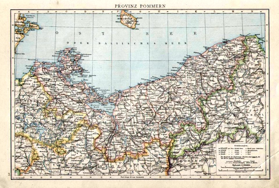
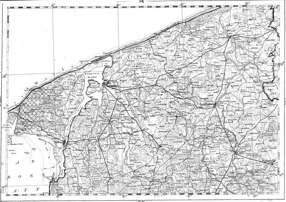
old maps of pomerania province
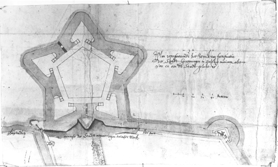
old maps of groningen (city)
reymann maps
travel
maps
historical
history
checkflickr
historical
history
historical
history
historical
history
historical
history
historical
history
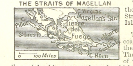
a class-book of modern geography (1898)
old maps of tierra del fuego
st. helena - a physical, historical, and topographical description of the island (1875) by melliss
old maps of saint helena
old maps of the amazon river
orientalist painting
old maps of the amazon river
orientalist painting
old maps of the amazon river
orientalist painting
old maps of the amazon river
orientalist painting
africa
maps
historical
history
historical
history
historical
history
historical
history
old maps of kollam
catherine haussard
old maps of the amazon river
orientalist painting
voyage à travers l'amérique du sud (1869)
orientalist painting
historical
history
magazine fort, dublin
maps by john rocque
historical
history
historical
history
historical
history
historical
history
historical
history
historical
history
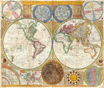
nicolas sanson. “mappe-monde, ou carte generale du monde.”
map of the bosphorus strait by guillaume sanson (1665)
nicolas sanson. “mappe-monde, ou carte generale du monde.”
1667 map of madagascar by guillaume sanson
old maps of the amazon river
orientalist painting
old maps of the amazon river
orientalist painting
old maps of amazonas (brazil)
orientalist painting
historical
history
historical
history
historical
history
history
germany
19th-century maps of groningen (province)
old maps of groningen (city)
a walloon family in america - lockwood de forest and his forbears (1914)
orientalism
historical
history
history
florida
in the forbidden land, an account of a journey into tibet (1909)
maps of the history of tibet
maps of ancient israel by philippe de la rué
old maps of the stations of the exodus
old maps of the strait of gibraltar
maps in the rijksmuseum amsterdam
historical
history
new york
history
history
england
voyages and travels to india, ceylon, the red sea, abyssinia, and egypt, vol. 3
henry cooper (engraver)
historical
history
historical
history
toledo, spain in the 17th century
old maps of toledo, spain
historical
history
historical
history
historical
history
historical
history
historical
history
historical
history
historical
history
historical
history
historical
history
old maps of the battle of waterloo
achille tenaille de vaulabelle
maps by emanuel bowen
1744 fleurons
historical
history
envelope
maps
history
maps
old maps of västra götaland county
old maps of göteborg
landscape
maps
historical
history
prints published by pieter schenk (ii)
maps in the rijksmuseum amsterdam
narrative of a five years' expedition (1806)
romanticism,fairy painting
historical
history
historical
history
historical
history
historical
history
historical
history
historical
history
historical
history
historical
history
historical
history
fire and sword in the sudan (1896) by slatin
old maps of khartoum
historical
history
historical
history
historical
history
historical
history
historical
history
history
empire
heimatskunde von leipzig. leitfaden für den unterricht (1867)
old astronomical prints
atlas geográfico y descripción geográfica y estadística de la república oriental del uruguay (1896)
old maps of montevideo
the cruise of the alice may in the gulf of st. lawrence and adjacent waters (1885) by benjamin
old maps of north america
from edinburgh to the antarctic. an artist's notes and sketches during the dundee antarctic expedition of 1892-93
old maps of the south orkney islands
historical
history
historical
history
historical
history
historical
history
historical
history
historical
history
historical
history
description des principales villes (1690)
old maps of santa maura
10501 - 10600 of 11,659
Next page
/ 117